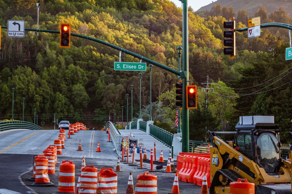
You know the feeling. You plug your destination into your phone, the app promises a smooth 25-minute drive, and ten minutes later you’re staring at a wall of brake lights, or a row of orange cones and a “Road Closed” sign that your GPS had no idea about.
If you drive in California, that’s a regular part of life. Here’s a free tool that can save you a lot of that frustration.
Construction Changes Fast
Road work isn’t always a big, planned project with months of warning. Crews close lanes overnight, shift detours midweek, and sometimes wrap up early or run late. A lane that was open yesterday can be gone today, and a detour that worked this morning can be replaced by a different one by afternoon.
During the busy construction months, when crews are trying to get as much done as possible, the situation can change from one day to the next. Even if you drive the same route every day, you can’t assume it’s the same road you drove last week.
Why Your GPS Doesn’t Always Keep Up
Navigation apps and built-in car systems are great at a lot of things. They’re good at finding routes, estimating arrival times, and rerouting around slowdowns they can detect. But they have a blind spot with temporary closures and detours.
Many of them rely on a mix of anonymous driver data, user reports, and map updates. That works well for ordinary congestion, but a temporary closure is a different story. If the information hasn’t been reported or processed yet, the app can’t show it. And the navigation system built into your car is often the slowest of all, since its map data may only update occasionally.
The result is that your GPS cheerfully sends you toward a closure, and you only find out when you’re already committed. Then you’re making a last-minute turnaround or sitting in a long line of cars that all trusted the same app.
Meet Caltrans QuickMap
There’s a better source for this kind of information, and it’s free: Caltrans QuickMap at quickmap.dot.ca.gov.
QuickMap is the official traffic information tool from Caltrans, the state agency that runs California’s freeways and state highways. It pulls live data directly from Caltrans and the California Highway Patrol. That means you’re getting information from the people who are actually closing the lanes and responding to the incidents, instead of waiting for it to trickle down through a third-party app.
Because the information comes straight from the source, it tends to be more current and more accurate for freeways and state highways, which is exactly where construction surprises hurt the most.
What You Can See on QuickMap
QuickMap is a lot more than a traffic-colored line on a map. You can view:
- Live traffic speeds, so you can see where things are flowing and where they’ve slowed to a crawl
- Lane closures and full road closures, including planned construction work
- Incident reports from the CHP, such as collisions and other roadway problems
- Traffic cameras, so you can look at the road yourself instead of guessing
- Electronic message signs, the same overhead messages you’d see on the road, but visible from your couch before you leave
- Other roadway information, like chain controls when conditions call for them
The traffic cameras are especially handy. Seeing the actual road is much more convincing than a vague estimate, and it can tell you right away whether a slowdown is a minor nuisance or a real mess.
Easy to Use on a Phone or Computer
You don’t need to be a tech person to use it. On a computer, just open the website. On your phone, you can use it in your browser or download the QuickMap app. The map opens up, you choose which layers you want to see (closures, cameras, signs, and so on), and you zoom in on the area you care about.
If you’re not sure where to start, turn on the closures and incidents layers first. That alone gives you a quick picture of what’s going on along your route.
One important reminder: do your checking before you start driving, or have a passenger do it. Please don’t scroll through a map while you’re behind the wheel.
A Quick Habit That Pays Off
Here’s a simple tip. When you know there’s a lot of construction going on in your area, take 30 seconds to check QuickMap before you head out. Look at your usual route, see if there are any lane closures or incidents, and glance at a camera or two if something looks off.
It’s also worth doing when you’re planning a longer trip, or any time you have to be somewhere on time. If QuickMap shows a closure on your normal route, you can choose a different way before you’re stuck. And you can still use your regular GPS app for turn-by-turn directions. Just think of QuickMap as the fact-check that tells you whether the route it picked is really open.
Bookmark It Now
Construction season isn’t going away, and neither are the surprises that come with it. Regular GPS apps will keep doing what they do, and sometimes that means being a step behind on closures and detours.
So here’s the recommendation: bookmark QuickMap on your phone and computer, or download the app, so it’s ready the next time you need it. It’s free, it’s official, and it uses live data from Caltrans and the CHP. A little prep before you leave can save you a lot of time in traffic, and a lot of frustration at the last-minute turnaround.
Blog writing by Berry


Leave a comment